
The known history of Askew Road, in Shepherd’s Bush, West London, starts with a hamlet called Starch Green. It was located between what is now Becklow Road and the junction between Askew Road and Goldhawk Road. Starch Green is mentioned in various leases, mortgages and trusts dating back to the eighteenth century. There’s considerable speculation about where the name comes from but no one really knows. The London Borough of Hammersmith and Fulham has muddied the waters by naming the small green on Goldhawk Road, next to the junction between Askew Road and Goldhawk Road, “Starch Green”. This is historically inaccurate. Local historian, Richard Gregory makes a convincing case that the name of this small triangle of land is really the wonderful “Gaggle Goose Green”.
Buy a copy of the photobook Askew Road – Then and Now by Joanna Oyediran and Harriet Challis to see and discover more.
Askew Road on the map
It was the famous surveyor and cartographer, John Rocque, who put Starch Green on the map for the first time. “The Country 10 Miles Around”, published in 1746, covers London and its environs. It shows Starch Green sitting on a track which starts near the current Princess Victoria Pub on Uxbridge Road. The track runs along what is now Becklow Road before joining the current route of Askew Road at the junction of Askew Road and Becklow Road. It then snakes down to Goldhawk Road. One of Rocque’s maps shows the track more or less following the course of a stream. We know that this stream, now part of the Victorian sewer under the road, rises to the west of Wormwood Scrubs. It joins two others further south in the area of Ravenscourt Park to form Stamford Brook, one of London’s lost rivers.
This track shown on John Rocque’s map is one of Hammersmith’s oldest roads. It must have been important as there were relatively few routes running north-south in the area in the eighteenth century. It linked two important highways, the Great North Highway (now Uxbridge Road), running between London and Oxford, to the Brentford Turnpike (now King Street). Its significance is evidenced by the presence of two gibbets in the eighteenth century, marked on one of Rocque’s maps, at the Uxbridge Road end. These structures were used to display the dead bodies of executed criminals in order to deter crime. In London gibbets were normally located at important junctions on main roads to ensure as many people as possible saw the suspended corpses.
There are a handful of buildings along the track on Rocque’s maps. One must have been the public house known as The Sun, one of the oldest pubs in Hammersmith parish, which dates back to at least 1722. The track is surrounded by fields. Apart from agriculture, there was a large rabbit breeding business going on in the area intermittently from at least 1720 until the 1830s.
Starch Green was still rural until the 1870s. The 1871 Ordnance map shows development starting to happen on the road – the buildings are still surrounded by agricultural land and brickfields – then 1870s brought a building boom as London expanded relentlessly westwards.
There was no big plan for this area. Some roads leading off Askew Road trace the boundaries of fields identifiable on the 1871 Ordnance Survey Map. Speculative builders bought up small plots of land and constructed houses very much to their own plan and design, contributing to the area’s higgledy-piggledy character. It’s easy for newcomers to get disorientated in this neighbourhood. For example, down Laurence Mews there remains a whole row of Victorian cottages, originally known as Coleman’s Buildings, tucked behind the shops that front onto Askew Road. The 1891 Ordnance Survey map shows both sides of Askew Road built up. It’s possible to recognize much of the eccentric street layout we know today, although some street names have since changed.
Public transport
An important driver of change in this area has been public transport. It was the growth of railways, horsedrawn trams, and the world’s first underground railway, which arrived up the road in Shepherd’s Bush in 1864, that enabled people to move to suburbs like Starch Green. In 1900 London’s first electric tram network opened, connecting Shepherd’s Bush and Hammersmith to the suburbs further west.
By 1904, trams were running up and down Askew Road as a new line opened connecting Hammersmith to destinations as far west as Uxbridge. The tram’s arrival seems to have boosted Askew Road as a shopping destination. In 1903/4, Kelly’s indicates that there were 111 shops and businesses on the street. By 1910, they recorded 131, an increase of nearly 20 percent. A new block of shops, King’s Parade, at the southern end, replaced a large residence fronting Goldhawk Road. This boom was likely caused by an increase in the shops’ catchment areas as trams could bring people from Hammersmith or distant suburbs cheaply and efficiently.
Industry
Askew used to be much more industrial. London’s rapid growth in the nineteenth century created huge demand for building materials. The fields surrounding the track were covered in brickearth and the earliest enterprises were dedicated to brickmaking – Hammersmith’s oldest industry. Alfred Roberts’ 1853 Map of the Parish of Hammersmith records “Star Field Lake” on the eastern side of the road. The lake had been created by digging out the brickearth. The 1871 Ordnance Survey Map shows acres of brickfields still being worked on the west side of the track. As the century drew on, the brickearth was exhausted and the fields were in turn built over. In 1877 the first portion of the Starfield Estate, which included the now filled-in lake, came up for sale. Its major selling point was that it was “ten minutes’ walk from the Shepherd’s Bush Station”.
Brickmaking was tough, poorly paid, seasonal work. Some brickmakers’ wives would supplement their meagre income by washing laundry, especially when their husbands were out of work. Here lay the humble beginnings of Askew’s laundry industry. In the second half of the nineteenth century, washers and ironers were meeting a growing demand. The middle classes owned more clothes and wanted to be seen in cleanly laundered and perfectly ironed garments to assert their social status.
Workshop laundries based in homes grew up in the area, particularly on poorer streets like Gayford Road. In his 1898 visit to the area, the pioneering Victorian social researcher Charles Booth, described Becklow Road in the following terms: “Two storey laundries: drying room behind: small employers giving work to 9 or 10 women and 4 or 5 men who are drivers, dollymen, labourers: washerwomen, very independent; careless of their children; drink much beer; noisy… very little trouble to police.”
Factory laundries in turn developed, using sophisticated equipment. The 1891 Ordnance Survey map names two large concerns, the Eton Laundry and the Phoenix Laundry, both at the end of Landor Walk. The laundry industry persisted on Gayford Road until about 2010.
After World War 1, Askew had a couple of factories with better paid, more secure employment than laundry work could offer. Between the 1920s and 1940s Stansell and Gregory made food containers at a factory on the corner of Askew and Percy Roads. Johnson Matthey, a prestigious British metal refining and assaying company, took over the laundry sites at the end of Landor Road in 1921 and ran the Hadyn Park Works there for 50 years. In the 1950s the factory had about 500 employees. Many were highly skilled metal workers, earning good pay and remaining with the company for years. Industry gradually disappeared from Askew after World War 2, partly as a result of government policies seeking to direct industry away from London and to separate housing from industry. Almost all the old industrial sites are now dedicated to housing.
Churches
The second half of the nineteenth century saw huge church building programs in London. It was Nonconformists who built the first churches and missions here. Oaklands Congregational Church in the Uxbridge Road also established what appears to have been the first school in 1858. It is marked on the 1871 Ordnance Survey map where Block C of the Becklow Gardens Estate now stands on Becklow Road. This was one of the British Schools, a network established by evangelicals and Nonconformists to educate working class children and neutralize the influence of the National Schools, which promoted Anglicanism.
It was the Methodists who built the first place of worship, the Bassein Park Chapel, which opened in 1866. Askew Road Church still stands on this site. The Presbyterians were not far behind. They opened a brick hall on Greenside Road in 1868 and a church, St Andrew’s Hammersmith, next to the hall, in 1870. There was also a Congregationalist iron church on the corner of Askew Road and Percy Road between 1885 and 1890. The Anglicans and Roman Catholics completed their churches later. St Saviour’s on Cobbold Road was concentrated in 1894 and Holy Ghost and St Stephen on Ashchurch Grove in 1904, although both churches had a presence here from the 1880s.
A number of these churches have targeted particular communities in their ministry. One motive for establishing the Roman Catholic church of Holy Ghost and St Stephen was to serve Irish construction workers. In the 1960s Methodist ministers at Askew Road Church actively welcomed members of the Caribbean community into their congregation and by the early 1970s they formed the majority of the congregation. The Presbyterian Church was sold in 1960 and became a Roman Catholic Church serving the Polish community. St Andrew Bobola contains many memorials to prominent Polish exiles who settled in the UK, particularly those who fought in World War II.
Slum clearance and bomb damage
Askew has always been a mixed area. On his poverty map, which accompanied his Inquiry into Life and Labour in London (1886-1903), Charles Booth classified most of the area as “Mixed. Some comfortable. Others poor.” He marked the north side of Gayford Road in dark blue, indicating “very poor, casual. Chronic want.” By contrast, he coloured Ashchurch Park Villas red, indicating “Middle class. Well-to-do”. The area has been ethnically diverse since Victorian times. It has had significant Irish, Caribbean and Polish communities. And members of all these communities, as well as Jews, Germans and others, have run businesses on Askew Road.
The Victorian streetscape saw its first major change in the 1930s when Hammersmith Council demolished about 40 homes fronting Askew Road and Becklow Road, as well as Becklow Court behind it, in a slum clearance program. In 1940 a new estate of 100 flats, named Becklow Gardens, opened, adding a modern curved building to the eastern junction of Askew Road and Becklow Road. After World War II, the council expanded the estate, building more housing on bombsites further down Becklow Road.
World War 2 had a significant impact on Askew. In addition to homes, the neighbourhood lost many institutions that served the community, including Westville Road School, the New Park Cinema, The Sun pub, the front of the Methodist church and the public library in Ravenscourt Park. The night of 20 February 1944 was the worst night of aerial bombardment in the London Borough of Hammersmith. The streets east of Askew Road were at the epicentre Two high-explosive bombs struck Westville Road and the lower part of Percy Road. According to Hammersmith council, five people were killed on Westville Road and 24 were killed and 99 injured on Percy Road.
Recent decades
The bomb damage of World War II changed the face of the area. New infill buildings appeared between older ones. This is ongoing, showing how long it takes a city to rebuild after war. The bombed plot at 165 Askew Road, on the corner of Starfield Road, remains undeveloped eight decades later.
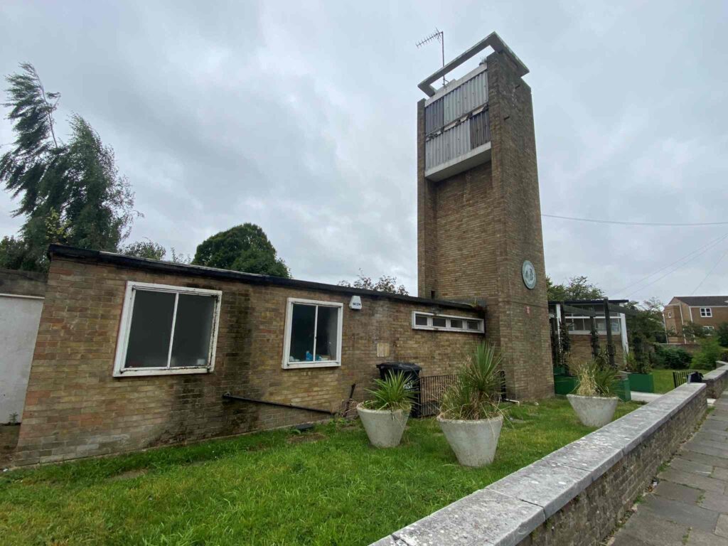
The buildings that went up in the 1970s and 1980s were extremely unsympathetic to the Victorian streetscape, exacerbating Askew Road’s jumbled-up appearance. However, the neighbourhood did get a modernist primary school designed by Erno Goldfinger with a mural designed by Gordon Cullen, replacing the bombed Victorian board school in Westville Road. Greenside School is one of only three Grade II* listed buildings in the W12 postcode.
Much has changed on Askew Road. It’s always been a place of movement – from the nameless watercourse, now confined to a sewer, that flows underneath it, to the track, now a road, that has carried people on foot, on horseback, in carts, trams, trolley buses, motor buses, cars, and on bikes. And people have always moved in and out of this area – the British-born, of course, both working class and middle class, but also significant numbers of Irish, Polish, African and Caribbean people. Their homes, businesses and community institutions all appear in these pictures.
Through all this change, Askew has maintained a distinctively independent character. Perhaps this is, to some extent, a legacy of the Nonconformists who were active in the neighbourhood in the nineteenth century. Today it is visible in the high proportion of people in creative fields who live and work here and the independent businesses that have revived Askew Road. Once again the neighbourhood has a bustling high street with an extensive range of shops – even a greengrocer – one more sign of its distinct identity and vibrant community life.